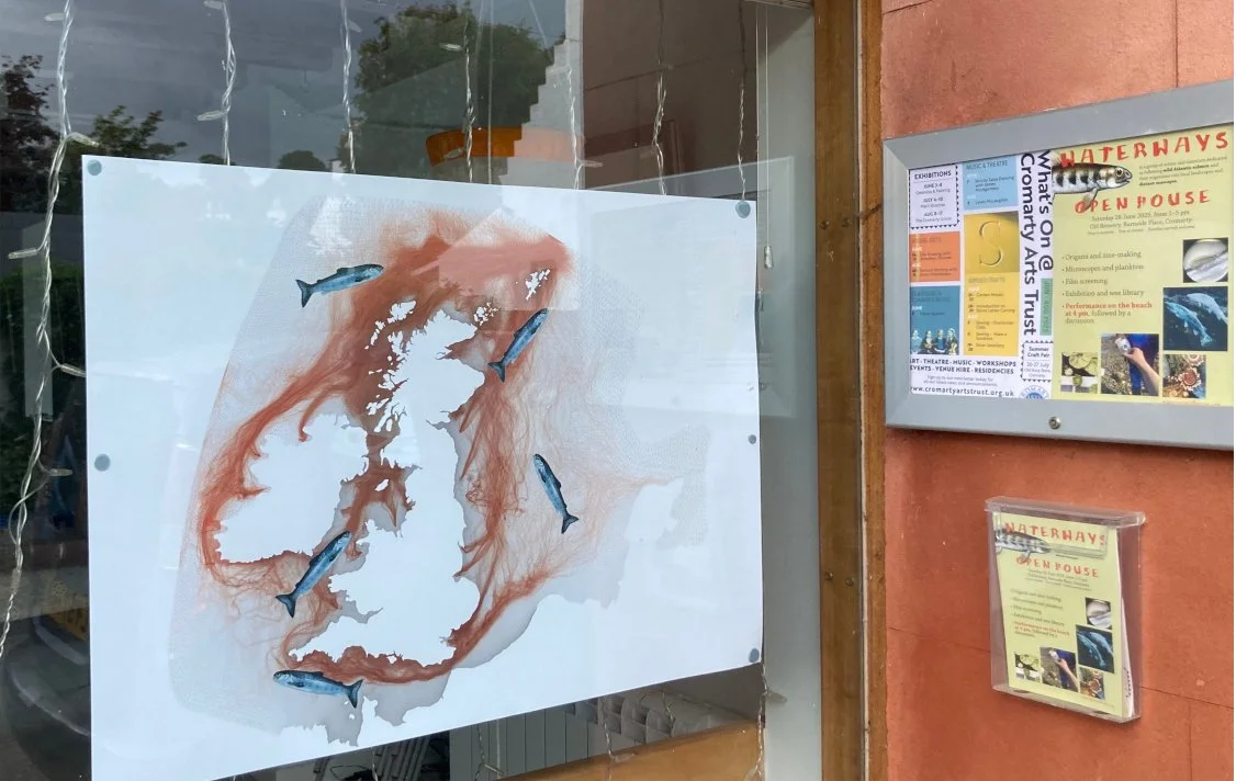
New Directions: The theory and practice of radical mapmaking in India - Savyasachi Anju Prabir
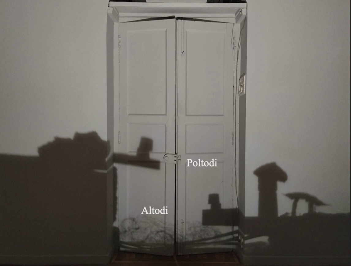
In the final event of our Mapping Fluid Worlds seminar series, Savyasachi Anju Prabir will discuss the theory and practice of radical mapmaking in India with a film screening of 'Altodi Poltodi (This shore, That shore)'. This project was a collaboration between Rai (a visual artist) and me. It began with the story of Rakhondars, spirit-protectors in Goa, and asking around about them. In the process, we were often confronted by the question of insider-outsider politics in Goa. The mythical spirit protector protects the 'inside' from 'outside' exploitation and walks along the periphery of the village each night to keep watch. We were thinking about that invisible dividing line through our own experiences and about what we could gather from people who still carry these myths within themselves. Eventually, our research took the form of an installation and an essay. The film is simultaneously a response to the installation and a documentation of the process of creating it.
Book your tickets HERE on Eventbrite.
Savyasachi Anju Prabir has a background in film and visual anthropology. His practice engages with moving images at the intersections of film, art and anthropology. He currently teaches in the Discipline of Film and Video Communication at the National Institute of Design, Ahmedabad. He has worked as a programmer and jury member for festivals such as the Kochi-Muziris Biennale, Freiburger Filmforum, Experimenta India, IDA Documentary Awards and the Alpavirama International Youth Film Festival. His ongoing research explores intergenerational memory, countermapping, and multimodal pedagogy through teaching, filmmaking, and artistic research.